ABOUT THE PARK:
American Legion and Peoples State Forests - Connecticut DEEP
DIRECTIONS:
GPS Coordinates 41.946466, -73.014640
 |
| Park in a pullout anywhere along West River Road between the two Henry Buck Trail trail heads. |
TRAIL MAP:
American Legion and Peoples State Forests Trail Map - Connecticut DEEP
Powered by Wikiloc
HIKE DISTANCE: 2 miles
Hiked together with:
Peoples State Forest - 7 miles
American Legion State Forest - Turkey Vulture Ledges Trail - .8 miles
THE HIKE:
 |
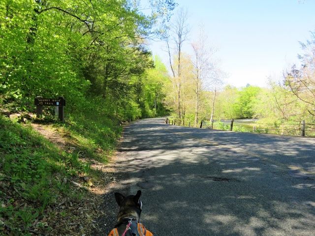
| We road walked to the farthest northwestern trail head. |
 |
| Oops! A typo on the sign. |
 |
| The trail immediately climbs up, sometimes on slab steps, along pretty cascades. |
 |
| Up to the top ... |
 |
| ... then a steep descent ... |
 |
| ... to an overlook. |
 |
| Nice break spot after that climb up. |
 |
| Up some more. |
 |
| A plaque way up high on a boulder to the right, too high up to read. |
 |
| But that is what the 65x zoom on the camera is for. Some info about Henry Buck. |
 |
| I was quite surprised to find a bridge on this very rugged trail. But it's the only bridge, the rest of the water crossings are rock hops. |
 |
| Ruins of an old cheese box mill. |
 |
| Red Trillium |
 |
| At last, after descending, a long stretch of smooth, flat trail. |
 |
| The trail comes out on West River Road ... |
 |
| ... across from the old bridge abutments we had seen from the Peoples State Forest overlook earlier. |


