

Explore the Morris Canal - Canal Society of New Jersey
Waterloo Village Brochure - Canal Society of New Jersey
Waterloo Valley Trail - Canal Society of New Jersey

DIRECTIONS:
GPS Coordinates 40.91483, -74.75921
 |
| Waterloo Village Parking |
TRAIL MAPS:
Waterloo Village Brochure - Canal Society of New Jersey
Waterloo Valley Trail - Canal Society of New Jersey
HIKE DISTANCE: 11.8 miles
THE HIKE:
 |
| I didn't spend much time in Waterloo Village since the purpose of this hike was to hike the entire 5-mile Waterloo Valley Trail. We entered, went down the steps, and veered left along the canal. |
 |
| Just around the corner at Smith's Store ... |
 |
| ... Brodie almost got himself a groundhog but with lightning fast maneuvering on my part and the groundhog's part, that disaster was averted, much to Brodie's dismay. |
 |
| That Brodie, so rude. |


 |
| I remembered this dilapidated bridge from when I was here last on June 30, 2012. It is even more dilapidated 9 years later. |
 |
| Crossing over the canal ... |
 |
| ... then right coming up the other side heading back. This was to capture the Waterloo Valley Trail where it starts at Lock 3 West. |

 |
| To the far right are the steps we came down from the parking lot; to the far left is the first greenway marker. There had been no other signs or markers until now. |

 |
| Going under I-80. |

 |
| The teal-blazed Highlands Trail also follows most of this route. |

 |
| These bikers and another group of bikers on the way back were the only others I encountered on the trail. |


 |
| The trail is between the Musconetcong River on the left and the Morris Canal on the right. |
 |
| Because some of the canal was obliterated over the years there are a few road walk sections. |

 |
| Another road walker. |


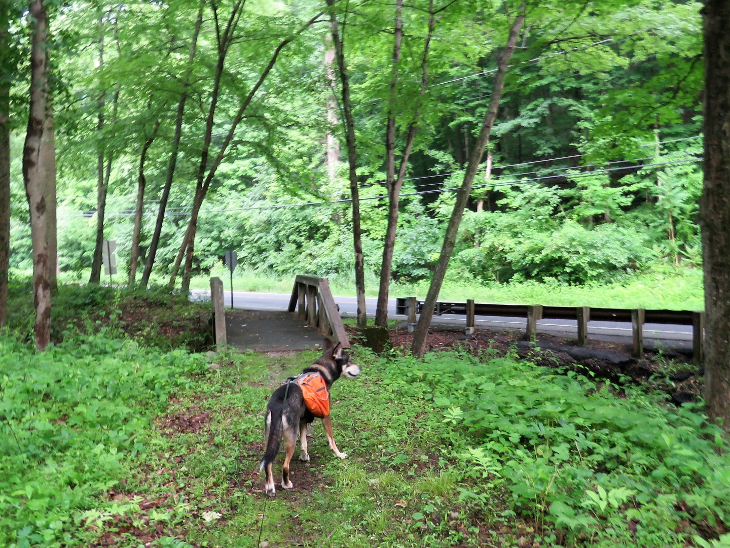 |
| At this bridge leading to Waterloo Road things get a little tricky. |
 |
| The markers indicate a right turn ... |
 |
| ... then almost immediately a left turn into the woods for a portion parallel to the road. |
 |
| But where is the trail? |
 |
| There was no obvious trail at all but I could see a bit of a clearing through the overgrowth so we hacked on through. |

 |
| And there was the trail! |
 |
| Unfortunately it did not last very long. |
 |
| My legs were getting sliced up by thorns and we could go no more so we retraced back the way we came. |
 |
| Back to a right on Waterloo Road |
 |
| Lesson learned: If you don't see a trail there (it might still be a work in progress), just turn left from the little bridge and road walk right into the next road walk section. |
 |
| This is where the trail should have come back out on the road but there is also nothing there. The groundhog can't find the trail either. |
 |
| Looks like I almost made it. |
 |
| From this point it is more road walking anyway so continuing on along the road. |


 |
| The trail turns left on an old paved road leaving Waterloo Road |


 |
| Back out on Waterloo Road briefly ... |
 |
| ... to Saxton Falls on the left. |
 |
| There is a bench with a nice river view for a break. |
 |
| We headed back along the far side of the canal ... |
 |
| ... then left on Waterloo Road a very short distance then right into the woods. |

 |
| The trail now follows along Waterloo Road for a while. |

 |
| The Highlands Trail leaves to the left to enter Stephens State Park. |


 |
| The new bridge. |
 |
| The end of the Waterloo Valley Trail at the parking area at Bilby Road. |

 |
| Heading back. |


 |
| Heading back down to Waterloo Road with Saxton Falls up ahead on the right. |

 |
| Keeping straight on Waterloo Road and ignoring the off road portion that is overgrown. |

 |
| We ran into two different groups of trail maintainers heading back. |
 |
| The trail is definitely more clear than when we started earlier. Thanks volunteers! |


 |
| After crossing under I-80 we took the second left to a grassy path that led to ... |
 |
| ... the steps to ... |
 |
| ... the parking lot. |
I grew up in Mount Olive and this post brings me back to my childhood!
ReplyDeleteThis was right in your backyard! Do you know if any of it existed then? The article says it is a "new" trail but it actually isn't all new. I had hiked the part from Waterloo Village before up into Allamuchy back in 2012 I believe.
DeleteI don't remember well. I haven't been up there since like 2002. I feel like that trail was always there, but not clearly marked or maintained. Now I want to go visit. Thanks for the inspiration.
DeleteDid you ask the trail maintainers about the ghost section? I think I know where you mean. Even on the NYNJTC Allamuchy map, the red trail line clearly goes slightly off Waterloo Road, but for no more than 1/4 mile. There are even yellow pedestrian crossing signs for drivers. Maybe it was just never cut through, since it's so close to the road anyway.
ReplyDeleteThey were all using loud power equipment so I couldn't ask but I would have if I could have. There was a trail there at some point. Sometimes there is a faint trail and an occasional Morris Canal Greenway marker. Looks like it just hadn't been maintained and became overgrown.
Delete