

ABOUT THE PARK:
Pequannock Watershed - City of Newark
Highlands Trail Guide - NYNJ Trail Conference
Bearfort Fire Tower - National Historic Lookout Register
PERMIT REQUIRED FOR HIKING IN THE PEQUANNOCK WATERSHED.
See THIS hike for permit details.
DIRECTIONS:
GPS Coordinates 41.106785, -74.434136
 |
| P4 Pullout Parking - room for about 4-5 cars. |
TRAIL MAP:
North Jersey Trails Map 116 - NYNJ Trail Conference
Powered by Wikiloc
PEAK BAGGING:
Bearfort Lookout - New Jersey 1K Club
HIKE DISTANCE: 8.75 miles
THE HIKE:
 |
| The Highlands Trail comes in from across Clinton Road joining in with the white-blazed Two Brooks Trail |


 |
| Broad-winged Hawk |
 |
| A rare find in the watershed ... |
 |
| ... a brand new footbridge. |

 |
| The end of the mountain laurel. See you next June. |


 |
| Second creek crossing on rock slabs. |


 |
| Right on yellow a little over a mile in. We would be returning from the left. |


 |
| Left on blue; yellow continues right to a parking lot. |

 |
| Ovenbird |

 |
| When blue ends, left on red/white. |
 |
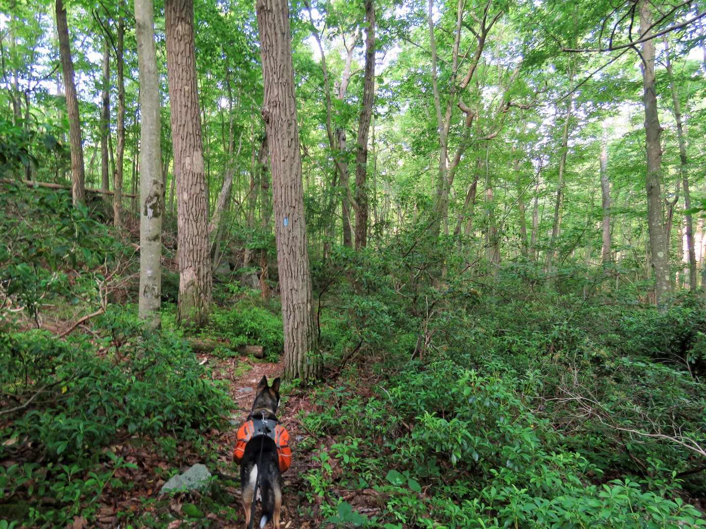
| The red/white Tower Ridge Trail starts out as a woods road and later becomes a footpath. |

 |
| Hanks Pond barely visible through the trees. Views should be really nice when the leaves are down. |

 |
| A little bit of a view between the trees. |
 |
| There is Hanks Pond down below. |


 |
| Down in this depression blue joins in from the right ... |

 |
| ... then leaves to the left. It would shortcut back over to the Two Brooks Trail but we continued on to the fire tower. |


 |
| Coming up on the Bearfort Fire Tower. |
 |
| Although I could not see up that high I knew the fire tower was manned because I could hear the radio. |

 |
| Crossing directly in front of the fire tower, we picked up the Highlands Trail turning right. |
 |
| The Highlands Trail goes through a power cut where there are some views. |


 |
| A couple of sections descend very steeply. Because of rain the night before some of the steep rock slabs were as slippery as a sheet of ice so I had to sit and slide down. |
 |
| When the Highlands Trail crosses over a woods road, left on the woods road. |
 |
| A short distance in the blue/white marker of the Hanks West Trail. |
 |
| This remains a woods road... |
 |
| ... all the way to the end ... |
 |
| ... where we turned left on Stephens Road. Stephens Road goes uphill where almost at the top ... |
 |
| ... we turned left at the yellow gate. There are no blazes at first but this is what is shown as the yellow blazed trail on the map. |
 |
| The open gate confirmed that the fire tower was manned. |
 |
| A yellow blaze but there were also orange and purple blazes. |

 |
| The end of the woods road runs smack into the Highlands Trail where the fire tower is on the left. |
 |
| We turned right on the combined yellow/Highlands Trail. |


 |
| It was in this section that we encountered two hikers with a dog, the only ones seen during the entire hike. |

 |
| When yellow continues straight, right on the white Two Brooks Trail/Highlands Trail to retrace that section. |

 |
| There was no such sign when we came from the opposite direction. At least the water was low. |
 |
| This would be that difficult stream crossing. With low water the only difficulty was slimy rock slabs, wet from rain the night before. |


 |
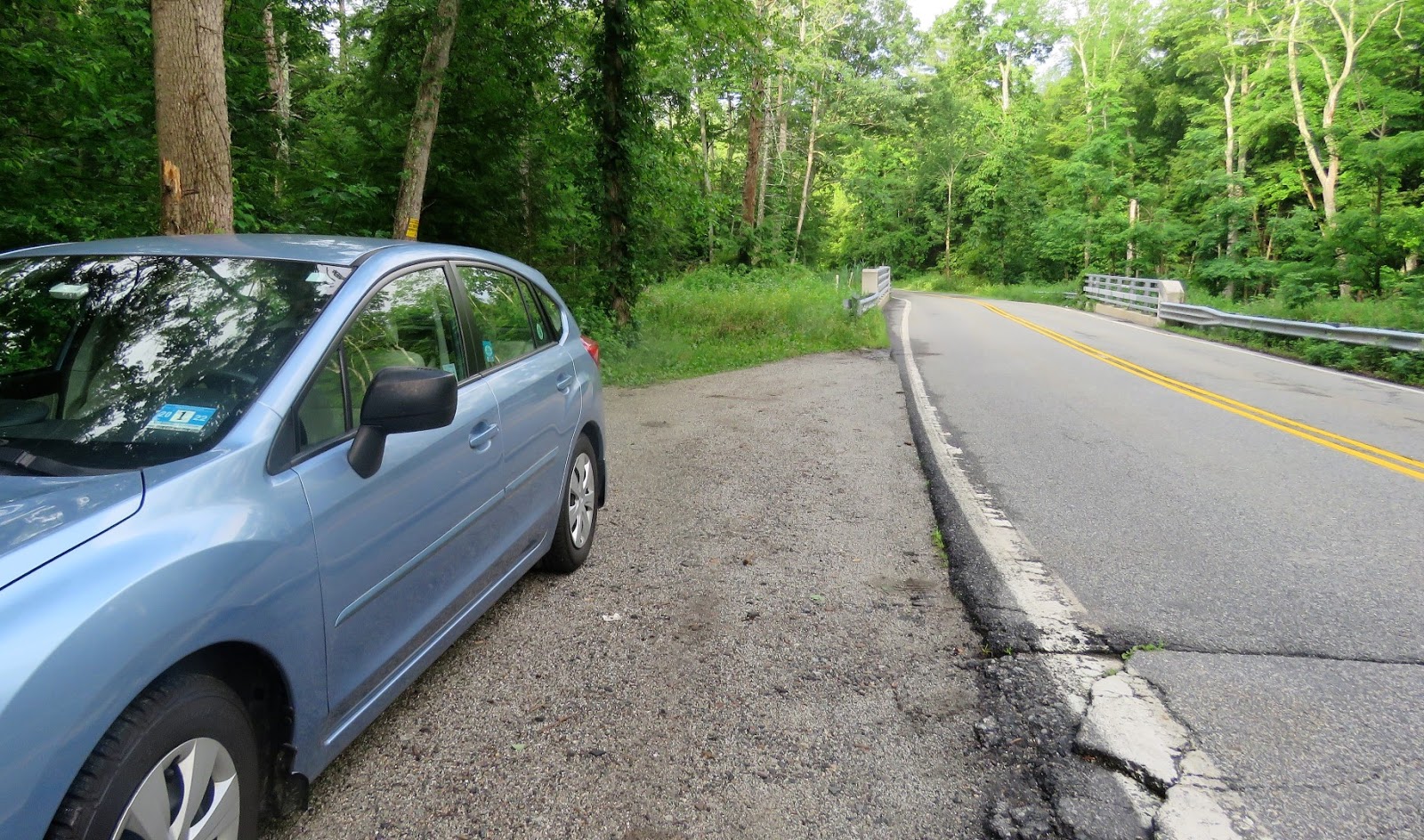
| Coming back up on Clinton Road. |
 |
| I was surprised to see two other cars at the end of the hike. That's a lot for a watershed hike. All cars had watershed permits displayed so everyone was hiking there legally. |
I always enjoy your hikes. Thank you.
ReplyDeleteThanks, Tom!
DeleteI was at sunrise mountain on July 4th and climbed the Culver’s fire tower. It was manned as well and I could here the the guy talking back and forth over the walkie to both the catfish and Bearfort tower operators. So think. They were all manned July 4th weekend.
ReplyDeleteHow funny! We could have been hearing the same conversation back and forth. I was thinking they were manning the towers because of fireworks. I could hear people shooting them off in the distance. It was so far away I might not have noticed had Brodie not gone into "WE ARE ALL GOING TO DIE!!!!!" mode.
Delete