ABOUT THE PARK:
Wildcat Ridge Wildlife Management Area - JORBA
DIRECTIONS:
GPS Coordinates 40.965744, -74.494386
 |
| Parking at Hudsonia Field on Green Pond Road |
TRAIL MAP:
New Jersey Highlands Trail Map 125 - NYNJ Trail Conference (only shows some of the trails)
Wildcat Ridge WMA - Trailforks
A note about using Trailforks: I had not used Trailforks since changing phones and neglected to log on in advance. Once at the hike I found my map downloads had not transferred to the new phone, nor had my login so I was unable to use it. This app is great for keeping track of where you are on trails that are not on other maps but be sure it is operational on your phone before you leave home. Lesson learned!
HIKE DISTANCE: 11 miles
THE HIKE:
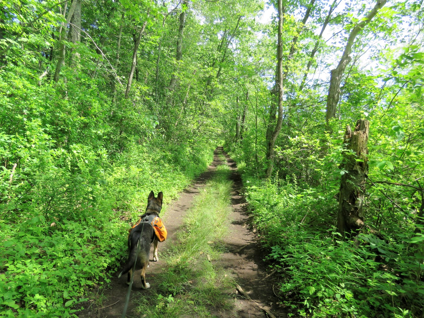
These trails are built and maintained by mountain bikers (JORBA) so mindful of that, I always yield to mountain bikers because I am hiking on their trails. On this hike, however, I did not encounter anyone else other than one jogger on the rail bed. And my family since we had planned for them to meet me for the jogging stroller-friendly Oreland Branch rail bed portion.
 |
| From the parking lot, left on Green Pond Road to the end of the chain link fence on the right. |
 |
| Cross and follow the gravel drive to the mowed path straight ahead. It looks like it's somebody's driveway but there are no signs saying not to enter. (Alternatively, I believe you can stay on Green Pond Road a bit longer to a right on Darlington Drive and access the trail that way. That is how it is shown on Trailforks.) |
 |
| At the end of the mowed path there is a trail into the woods. |
 |
| A gate a little farther in. |
 |
| Without the Trailforks app to reference I wasn't sure I was in the right place. Odin's Ladder was not a trail shown on the Trailforks map but in retrospect it did appear to be the same as the KDM Woods Trail I meant to be on. |
 |
| I eventually ended up on a yellow-blazed trail which I don't think was the way I wanted to go but I didn't know that at the time. |
 |
| I ended up running into private property. |
 |
| I worked my way around on woods road ... |
 |
| ... coming out on a trail I recognized where I turned left. |
 |
| This is the orange trail shown on the trail conference map. I was headed towards Beaver Pond so I was on the right track. |
 |
| When orange ends, left on ... |
 |
| ... the yellow Wildcat Ridge Trail. |
 |
| The yellow trail leads to ... |
 |
| ... the parking area at the red-blazed trail to Beaver Pond which was where I was to meet the family. They were running late so Brodie and I went to scout out Beaver Pond to see if the jogging stroller would be able to make it there. |
 |
| Indeed, it was woods road all the way to the pond. |
 |
| Beaver Pond |
 |
| Back at the parking area, the family has arrived still in their PJs because they had slept in. |
 |
| A quick change into hiking clothes. |
 |
| And breakfast, of course. Yes, Brodie managed to wrangle some out of the children. |
 |
| And we are ready to roll. |
 |
| A stop at Beaver Pond first ... |
 |
| ... then back to continue on the yellow trail. |
 |
| a very hard to spot moth. |
 |
| Turns out this stretch was somewhat challenging for the stroller. |
 |
| At the Hibernia Road crossing ... |
 |
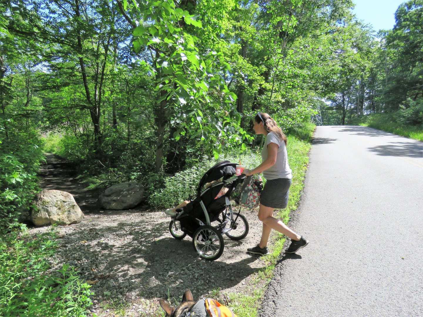
| ... the stroller road walked ... |
 |
| ... while the rest of us hiked the trail which did open up enough for the stroller just a short distance in so at least we knew that was doable on the return route. |
 |
| We met back up with the stroller at the second Hibernia Road crossing ... |
 |
| ... and all continued on for the rest of the Oreland Branch rail bed. |
 |
| Ellie has decided she wants Santa to bring her some trekking poles. |
 |
| At this swamp I looked down to see that Brodie had just stepped over a very long black rat snake that had half it's body flat on the ground and the rest upright with its head inches from Brodie's head. I had never seen a snake "stand up" like that before. I yelled and yanked Brodie away and the snake took off like a shot in the opposite direction. It happened so fast I wasn't able to get a picture. |
 |
| Some options for crossing. |
 |
| At the end of the Orland Branch rail bed at Green Pond Road. |
 |
| We retraced a little to take a break before heading back. Brodie would not drink water for me but he did for Ellie. |
 |
| Yes, that is an orange slice that Ellie is giving Brodie and he LOVES oranges. |
 |
| Harrison feeds Brodie some oranges, too. (PS All orange peels were packed out - that IS litter if left behind.) |
 |
| About half way back to where the family parked was my exit on the right so I left them to finish on their own as I continued my hike on the Orland Trail. |
 |
| The Oreland Trail leaves the woods road to the left. |
 |
| This trail has orange railroad track anvil shaped markers all along the way. |
 |
| I dug balloon #39 of the year out of the trail. |
 |
| If only! |
 |
| Near the end the trail follows along Hibernia Brook briefly. |
 |
| Then into a power cut. |
 |
| At Green Pond Road we crossed directly over ... |
 |
| ... following the trail as it veered left into the woods. |
 |
| Coming up behind Hudsonia Field where we had parked way over to the left. |
 |
| First the woods road follows along a lake. |
 |
| Then back around to the parking lot. |
Hike photos by Caitie and Bryan: