ABOUT THE PARK:
Wharton State Forest - NJ Department of Environmental Protection
Bass River State Forest - NJ Department of Environmental Protection
Harrisville Village Video Tour - Pinelands Preservation Alliance
DIRECTIONS:
GPS Coordinates 39.665251, -74.524247
 |
| Parking at Harrisville Pond |
TRAIL MAP:
Batona Trail Map - NJ Pine Barrens Forum
Wharton State Forest Map - NJDEP
Bass River State Forest Map - NJDEP
Harrisville Podcast Tour Map - Pinelands Preservation Alliance (only shows Harrisville Pond area)
HIKE DISTANCE: 11.5 miles
THE HIKE:
 |
| Finding the blue-blazed Lake Trail is a little (a lot) tricky if you don't know where to go. It is not on the Wharton State Forest map and there are no signs. So walk out of the parking lot and turn right on Rt. 679. Walk a short distance then turn right at the Canoe Landing sign just beyond the guardrail. |
 |
| Walk straight ahead veering slightly left to the brown post which is ... |
 |
| ... the blue-blazed Lake Trail. |
 |
| There are several spots with nice views of Harrisville Pond. |
 |
| At the pink Batona Trail arrow ... |
 |
| ... turn right and cross the bridge to ... |
 |
| ... the Batona Trail. We turned left first because I wanted to get that little section to ... |
 |
| ... Route 679. There is parking on the other side and that is where I'll be parking to finish my last section of the Batona Trail at another time. |
 |
| This was just to get this little piece out of the way so back where we came off of the Lake Trail and there is not only one but there are two "Lake Trail" signs here. |
 |
| Continuing straight (south) on the Batona Trail. |
 |
| There are mile markers every half mile. |
 |
| Oswego River |
 |
| Martha Bridge over the Oswego River |
 |
| The trail had been very dry up to this point even with snow/sleet/rain the day before. Once on sand roads there were huge puddles but it was possible to get around all of them. |
 |
| Entering Bass River State Forest. |
 |
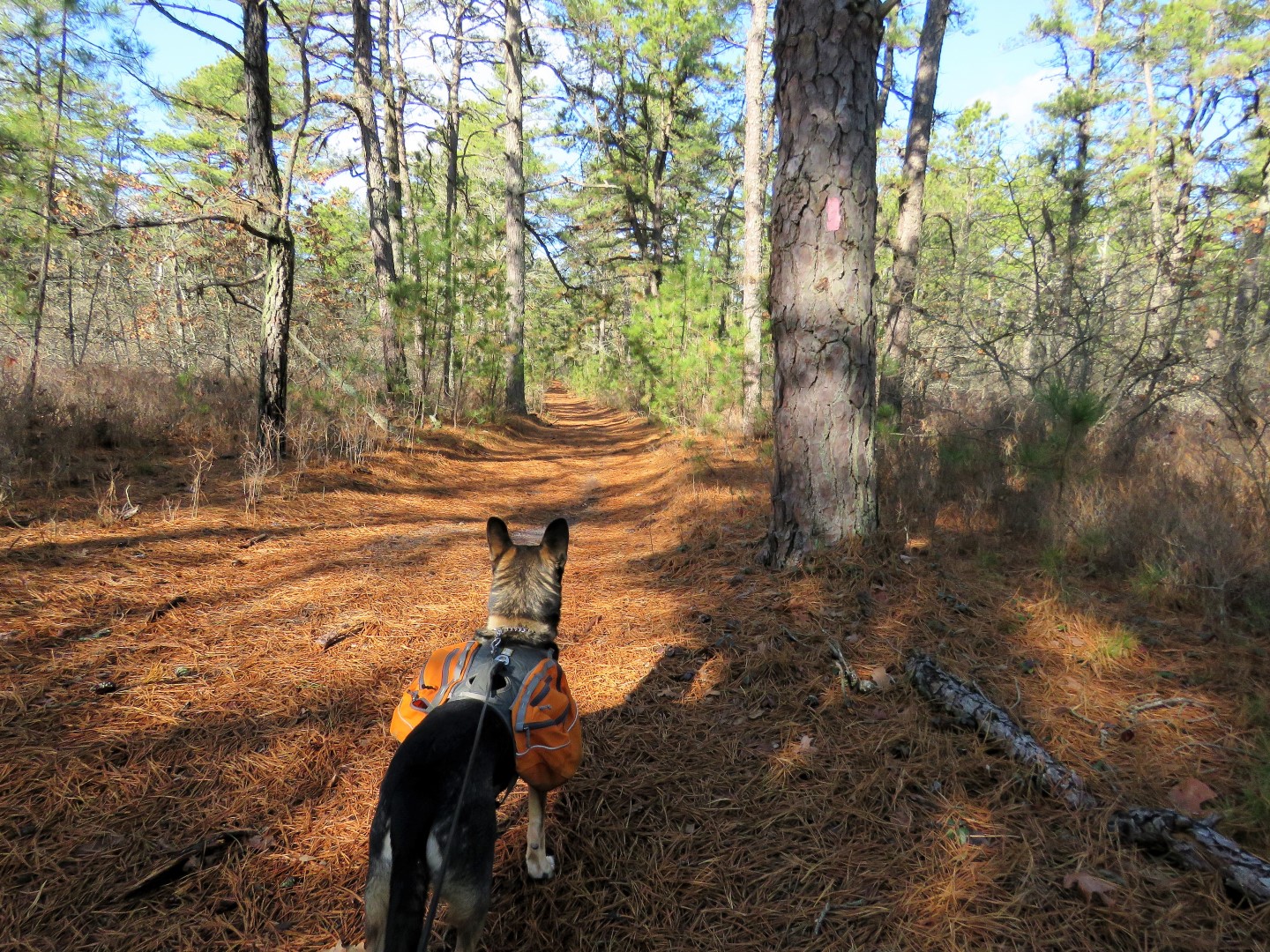
| I did not lose Brodie. Apparently there was a shooting range in the vicinity (far, far, away and I could barely hear the gunfire). We were heading towards the gunfire, which he is TERRIFIED of. Thunderstorms, fireworks, no problem. But with gunfire he hides behind me and puts me in the line of fire. Shawnee would have never. Just sayin'. |
 |
| In a sit/stay for the camera. Under duress. Note the ears pointed towards the where the far away gunfire is coming from. |
 |
| There were lots of birds around but only got one in mid flight. |
 |
| He's back in the lead! Just in time for ... |
 |
| Ives Pond |
 |
| We found a little side trail with a log to sit on along the side of Ives Pond. Gunfire has not ruined his appetite. |
 |
| Heading back the way we came. |
 |
| Up front and center now that the gunfire is fading away behind us. |
 |
| Where the Batona Trail turned right, we continued straight on a sand road called Calico Road. |
 |
| Oh, look what we have over here. |
 |
| Balloon #2 of the year. |
 |
| At the fork we stayed right. |
 |
| Here we found balloon #3 of the year. |
 |
| We merged left onto Martha Road following along the canal. |
 |
| Right on Route 679. |
 |
| It's not a far road walk back to Harrisville Pond but there is more to see along the way. |
 |
| On the left, the old Harrisville paper mill ruins. |
 |
| On the other side of Route 679 is what used to be North Main Street ... |
 |
| ... with gristmill ruins. |
 |
| I thought that the woods road might lead back to the parking lot which is over there at the far side of the pond but no, there's another dam that is fenced in so we had to backtrack ... |
 |
| ... and continue the road walk on Route 679... |
 |
| ... across the dam at the bridge ... |
 |
| ... and back to the parking lot. |
 |
| Brodie was quite loaded down with litter which we picked up along the Batona Trail. It's the sand roads where vehicles are allowed to drive that there are beer bottles and beer cans everywhere! It's really quite sad where this is otherwise such a pretty area. |


What was the patchy, orange vegetation in the beginning? I'm guessing it was sphagnum moss on sand(?)
ReplyDeleteIt was just pine needles The lighting might have made them look more orange.
DeleteStill enjoying your hikes!
ReplyDeleteThat's great, thanks!
DeleteI hiked some of the Batona Trail over at Batsto Village. I believe Batsto was originally an area where bog iron was mined and later became a glass manufacturing village. They used the bog iron to make musket balls supporting the revolution in the 1700's I believe. It's a worthy visit to get an idea of what life was like in the Pine Barrens in the 1700's.
ReplyDeleteAlso nearby your hike is the unique pygmy pine forest.
Thanks for posting your hikes.
I did hike the Batsto loop but it was in the pre-blog days. I was thinking I would redo it eventually but want to finish up last my Batona Trail section first. Have to hit those pygmy pines someday, too. Thanks!
DeleteI've been going to Harrisville for swimming and hiking for 50 years and never heard of I'ves Pond. Thanks for the great pics and info!
ReplyDeleteYou're welcome! Now you have a new place to explore.
DeleteYour posts always remind me to go to the Pine Barrens in the winter. Great photos!
ReplyDeleteThanks! And yes, the Pine Barrens are always good for a green fix in the dead of winter.
DeleteHey Danielle -- finally getting around on commenting on this great hike in Southern NJ! Not sure which section of the Batona is the only part you haven't hiked, but it's sure to be a great adventure, as one cannot go wrong on the Batona! Excellent hike plan, with the combination of Harrisville Lake, then Martha Bridge and eventually Ives Pond. BTW -- even though I was last in that area quite some time ago (talking May 2012, just before the last 3 miles were rerouted), I never knew the name of that pond was Ives Pond. Actually, that's the first time I saw the trail "separated" from the pond; when I went there, it must have been after a rainy period, because there was water actually flowing over the trail; looks like the boards are still there that I absolutely had to use back then or get my feet soaked in the flowing water!
ReplyDeleteExcellent pix of Harrisville Lake as well; I did check out the paper mill ruins, but I didn't really explore too much else around the area; I didn't even realize there were unmarked trails to explore. (But probably because I did 2 other trails the day I went to HL, so I had to allot my time accordingly!)
Loved the shot of the Oswego River (i.e. under Martha Bridge); I have plenty of shots of that myself, and got a number of compliments on it back in the day (i.e. when I displayed it as wallpaper on my computer screen at work!) And you are SO correct in that the Pine Barrens provide spring (or even summer-like) scenery in the dead of winter; honestly, that shot of the Oswego River (without any knowledge of when you did this hike) could have been taken in the middle of July for all one knows!
Can't wait till you're back down here in SOuth Jersey again...especially when you finish off your last section of the Batona Trail! Happy Hiking!
Jim
The last section I have to do is from Harrisville Pond north to mile marker 13. And back, of course. Then there is 1 random mile I missed from the Brendan Byrne State Park office to Route 70 which I passed on the way in to do this hike so maybe I can knock both off at the same time the next time I go. I try to save the south for when it's too snowy/icy up north.
Delete