ABOUT THE PARK:
Warren Highlands Trail - Warren County Parks
Warren Highlands Hiking Guide (parts of sections 4 and 5) - Warren County, NJ
Merrill Creek Reservoir
DIRECTIONS:
GPS Coordinates 40.740714, -75.092481
 |
| Merrill Creek Reservoir Visitor Parking |
TRAIL MAPS:
Warren Highlands Hiking Guide (parts of sections 4 and 5) - Warren County, NJ
Merrill Creek Reservoir Brochure and Map
HIKE DISTANCE: 15.9 miles with searching for trail connections
THE HIKE:
I had come across the
Warren Highlands Hiking Guide a while back but because I never actually saw the trail when in areas where it should have been (other than the
Marble Hill Natural Area) I figured it was a draft and the trail was a work in progress. Then I recently saw the following for a First Day Hike 2020:
Join us for this point to point hike featuring some of the newest sections
of the Warren Highlands Trail through Phillipsburg, Lopatcong, and Harmony
Townships in Warren County NJ. The route features scenic vistas, historic sites, mixed hardwood forests,
pleasant back roads, and pastoral settings. Included in this hike are the beautiful Ragged Ridge, Van Nest-Hoff-Vanatta
Farmstead, historic Hoffman Farm, Merrill Creek Reservoir, Marble Hill, and
various other outlooks.
My plan was to start at Merrill Creek Reservoir, connect to the Warren Highlands Trail heading west then loop around on roads referred in the guide as the Montana Mountain Bypass. It should have been around 11 miles but as it turned out, searching for a missing connection added some miles.
 |
| To start, we walked back out of the parking lot, turned left on Visitor Center Road a short distance, then left ... |
 |
| ... to the black Perimeter Trail/yellow trail. |
 |
| Ruins along the way. |
 |
| At this intersection about 3/4 of a mile in, if all went as planned, we would be returning via the orange trail straight ahead. For now, left on yellow/black. |
 |
| Then right on black across the bridge. |
 |
| Merrill Creek Reservoir |
 |
| As I was zoomed in to take this picture, a bald eagle flew right over our heads but I couldn't get the camera lens to retract fast enough to get a picture. |
 |
| Crossing the dam. |
 |
| Coming off of the dam, there would be great views to the right had it not been such a hazy, gray morning. |
 |
| At the gate ... |
 |
| ... entering the hawk watch area to the left. |
 |
| At the kiosk to the right, first make note of "Gates Close at Sunset". They are not kidding. I started at 7:30 AM and was pulling out at 4:25 PM with park staff right behind me to close the gate as I left. So any lot you park in, might be a good idea to be done and out by 4 PM in the winter. But for now, walking out the entrance drive ... |
 |
| ... to a left on Fox Farm Road. |
 |
| I wasn't quite sure where to go here as I should have been on the Highlands Trail leaving Merrill Creek Reservoir and there were no blazes but a short distance ahead we crossed over ... |
 |
| ... and turned right on a paved road beyond a gate where ... |
 |
| ... yay! The blue blazes of the Warren Highland Trail! |
 |
| We'd be heading down the mowed part of the Merrill Creek Reservoir right of way then up to Harmony-Brass Castle Road visible ahead. |
 |
| However, there is Lopatcong Creek at the bottom. We looked to the right for a way to cross, then looped back around to the left. |
 |
| There we found a footbridge ... |
 |
| ... and blazes! (There had been no turn blaze in the right of way that I could see.) |
 |
| We still had to ford across the creek because there was no other way across. On the other side, continuing uphill. No more blazes to be seen. |
 |
| Coming up on Harmony-Brass Castle Road, there is a kiosk directly across the road. We went to the right around the guardrail over to the kiosk on the other side where there is parking not indicated on the map. |
 |
| There is a map in the kiosk which was really hard to read but I could make out that the trail should continue to the left up the road a short distance. |
 |
| Just a short distance along Harmony-Brass Castle Road, a right ... |
 |
| ... where the blazes pick up again. |
 |
| Blazing is a little dicey through here for lack of a place to put them other than on occasional post but I think we kept with the trail pretty well. |
 |
| The trail eventually comes out on a paved road heading towards a gate. |
 |
| I believe the view is Wind Gap in PA. |
 |
| At the gate the trail turns right on Ridge Road for a short distance (no more blazes)... |
 |
| ... to a left towards a kiosk. |
 |
| At the kiosk the blazes pick up again and look very freshly painted. There are plenty of them and they are easy to follow. The trail, however, appears to be very unused and was littered with small branches, many of which I moved to the side. |
 |
| Once the trail starts crossing creeks ... |
 |
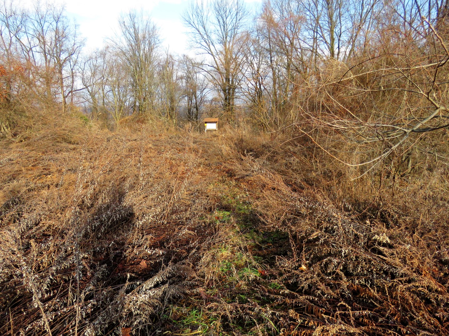
| ... there is one more blaze after this turn blaze then nothing. No more trail, no more blazes. |
 |
| We made our way along corn fields in search of the Van Nest Hoff Vanatta Farmstead, going the wrong way, no doubt. |
 |
| Skirting someone's field - no private property signs but if it was, SORRY! |
 |
| We eventually reached Belvidere Road (a VERY busy road) where a right turn and short road walk brought us there. |
 |
| So from here there should have been a road walk along Belvidere Road to a farm road. No matter what I tried I kept running into private property with no farm road to be seen. |
 |
| I ended up looping back around behind Van Nest Hoff Vanatta Farmstead. Tried bushwhacking through state park property but just kept hitting private property. |
 |
| We eventually ended back at that kiosk. |
 |
| We turned left on Ridge Road and road walked 1.3 miles to where the Warren Highlands Trail should cross over again. |
 |
| Indeed, pull off parking and a blaze to the right. |
 |
| Looking up Ridge Road I could see blazes where we should have come out but how to get there via the trail remains a mystery to me. |
 |
| The trail is now a blazed woods road which crosses a creek. |
 |
| The trail switchbacks up on Ragged Ridge. Everything continued to be very well blazed through this section. |
 |
| It gets rockier near the top. |
 |
| Once at the top watch for a side trail to the left ... |
 |
| ... to some fantastic views. Again, I believe this is Wind Gap and to the right ... |
 |
| Delaware Water Gap |
 |
| The trail begins to descend Ragged Ridge ... |
 |
| ... towards homes and Harmony-Brass Castle Road. Problem is, the trail ends abruptly at someone's driveway and looking back, you would never know it was there coming from the opposite direction. From this point forward there were no more blazes. |
 |
| We made our way to the right on the driveway so we wouldn't be walking smack in front of someone's house, then turned left on Harmony-Brass Castle Road. |
 |
| The trail was supposed to turn right into NJ Conservancy Foundation property but I could see no trail so we stayed with road walking. |
 |
| At Montana Road we turned right. From the time we came off of Ragged Ridge, there would be a total of 3.6 miles of road walking back to Merrill Creek Reservoir. |
 |
| Love this! A property we passed was Wildlife Habitat Certified and welcomed all wildlife for a safe haven. |
 |
| Nice Christmas decorations along the way. |
 |
| Keeping right on Montana Road at Millbrook Road. |
 |
| Right on Allen's Mill Road. |
 |
| Heading back into Merrill Creek Reservoir property. |
 |
| Left on Richline Road ... |
 |
| ... where we found balloon #65 of the year. |
 |
| After crossing over Merrill Creek at the guardrails, I started looking to the right for a way in to meet up with that orange trail. On the map it looked like it should be just a short distance in. |
 |
| Indeed it was. Once on that trail, either right or left ends up at the same place. |
 |
| Very pretty along Merrill Creek. |
 |
| At the intersection with black/yellow, we retraced the way we had come at the beginning. |
 |
| Right on Visitor Center Road ... |
 |
| ... back to the parking lot. Looks like we weren't the last ones before the gate being locked. |


No comments:
Post a Comment