ABOUT THE PARK:
Cuivre River State Park - Missouri Department of Natural Resources
DIRECTIONS:
GPS Coordinates 39.045539, -90.926484
 |
| Looking back at the parking area from the Big Sugar Creek Trailhead. |
TRAIL MAP:
Cuiver River Trail - Missouri Department of Natural Resources (Note: The total mileage of 11.25 miles on the map does not include the connector trail which connects the north and south loops.)
HIKE DISTANCE: 13.6 miles
THE HIKE:
 |
| Big Sugar Creek Trailhead |
 |
| Filling out a registration card at the trailhead. |
 |
| The estimated hiking time assumes about 1 mile per hour and even I am not that slow of a hiker. I averaged 2.1 mph moving speed which is fast for me. The most difficult part of this trail is dodging horse poop and muddy ruts from horse tracks in low areas but much of the trail is smooth and makes for easy going. |
 |
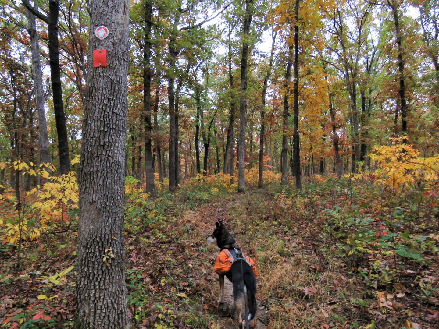
| We turned left at the split and would be coming back from the trail straight ahead. A blue-blazed trail starts to the right. |
 |
| It was a cloudy, dreary day but the foliage was incredible and brightened up the entire hike. |
 |
| The orange trail runs right into white connector 4. You have to completely turn around to the right to see the continuation of orange; that would be our return route at the end of the hike. |
 |
| For now, straight on white connector 4. |
 |
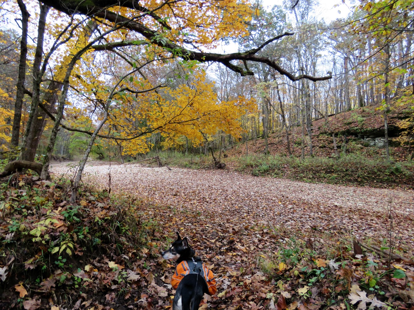
| Crossing Big Sugar Creek which was a bone dry bed of rocks and leaves. |
 |
| Some litter for Brodie's backpack. |
 |
| At the hitching post, veer right ... |
 |
| ... around the right side of this foundation, then continue left on the trail. |
 |
| Here is where I realized I was on the red south loop. I had intended to turn left on red but missed the turn. When I came out that way later I saw that the turn was not marked so it was very easy to miss. But no big deal, we continued counter clockwise for the south loop. |
 |
| Crossing a gravel park road... |
 |
| ... where yellow joins in. |
 |
| The trail makes a hard left then follows along the top of a bluff ... |
 |
| ... with farmland views to the right. |

 |
| Coming up on this particularly vivid section of foliage ... |
 |
| ... we made that our break spot. |
 |
| The trail touches on the gravel park road off and on and blue joins in after yellow leaves to the left. |
 |
| Downy Woodpecker |
 |
| Cuivre River down below. |
 |
| Coming up on the park road, a jog to the right then left back on the trail. |
 |
| These arrows are a little confusing. The trail actually goes left; right is to equestrian parking. |
 |
| This section of trail is particularly rutted and muddy. |
 |
| Come Brodie, more litter for your collection. |

 |
| A hawk flew over and landed briefly - just long enough for one blurry shot. |
 |
| This where I had missed the turn earlier. Left is red heading towards the hitching post and old foundation and right is the white connector trail where we turned to head back. |
 |
| I had, however, noticed an unmarked side trail earlier that looked as though it might cut off the loop of the connector trail and come out at Big Sugar Creek so I was watching for that and veered left leaving the connector trail when I came to the fork. |
 |
| The trail might not be marked but it is used according to the next piece of litter. |
 |
| Indeed, there is Big Sugar Creek down below and ... |
 |
| ... we came out right where the white connector trail crosses the creek. |
 |
| Eastern Towhee |
 |
| Can't tell who this is. |
 |
| The white connector trail ends at a fork where we had come in from the right on orange, now taking the left side to complete the north loop. |
 |
| The orange trail suddenly comes out on white connector 5. |
 |
| You have to turn around to see the continuation of orange. We had come in from the right, now continuing to the left, |
 |
| The last remaining flowers of the season right in the middle of the trail. |
 |
| The last stretch of trail is a mostly straight woods road ... |
 |
| ... all the way back to the parking area. |