ABOUT THE PARK:
Daniel Boone National Forest - USDA
Auxier Area Trails - USDA
DIRECTIONS:
GPS Coordinates 37.820081, -83.68079
 |
| The drive in on Tunnel Road is very pretty. Parking at at the very end of Tunnel Road. |
 |
| Parking at the Auxier Ridge Trailhead - already packed at 9AM, probably mostly overnight camper with other hikers arriving later in the day. |
TRAIL MAP:
Auxier Area Trails - USDA
HIKE DISTANCE: 6.85 miles
THE HIKE:
 |
| We started on the Double Arch Trail to the left and returned on the Auxier Ridge Trail on the right. |
 |
| The trail starts out as a footpath that connects to ... |
 |
| ... a gravel path. All trails are blazed with white diamonds and they are often few and far between but paths are well-defined so they are easy to follow. |
 |
| A little lingering fog up ahead. |
 |
| The Double Arch Trail turns right here but we went left ... |
 |
| ... over the log to the left ... |
 |
| ... on a short side path to some views. |
 |
| This was just a preview of what was to come. |
 |
| Back to the fork to the Double Arch Trail.... |
 |
| ... down a long flight of steps. |
 |
| At the intersection with the Auxier Branch Trail, left on the Double Arch Trail. |
 |
| Pileated Woodpecker |
 |
| As we arrived at the Double Arches ... |
 |
| ... I was only able to get these shots when ... |
 |
| ... people with FIVE off leash dogs came charging up behind us and Brodie freaked. I asked them to leash their dogs and they just stood and stared at me like I was requesting something that was over the top unreasonable. I dragged Brodie away and left. So much for enjoying a view. |
 |
| We retraced back to the intersection and turned left on the Auxier Branch Trail. |
 |
| An easy rock hop over Auxier Branch. |
 |
| At the intersection, left towards Courthouse Rock. This is now the Auxier Ridge Trail but the sign does not say that. |
 |
| A little bit of scrambling ... |
 |
| ... and Courthouse Rock is to the left. |
 |
| Courthouse Rock |
 |
| Heading to the right are steps up to the ridge. I was worried about the grates but Brodie went right up, no problem. |
 |
| These steps keep going ... |
 |
| ... and going. |
 |
| A better view of Courthouse Rock from the steps. |
 |
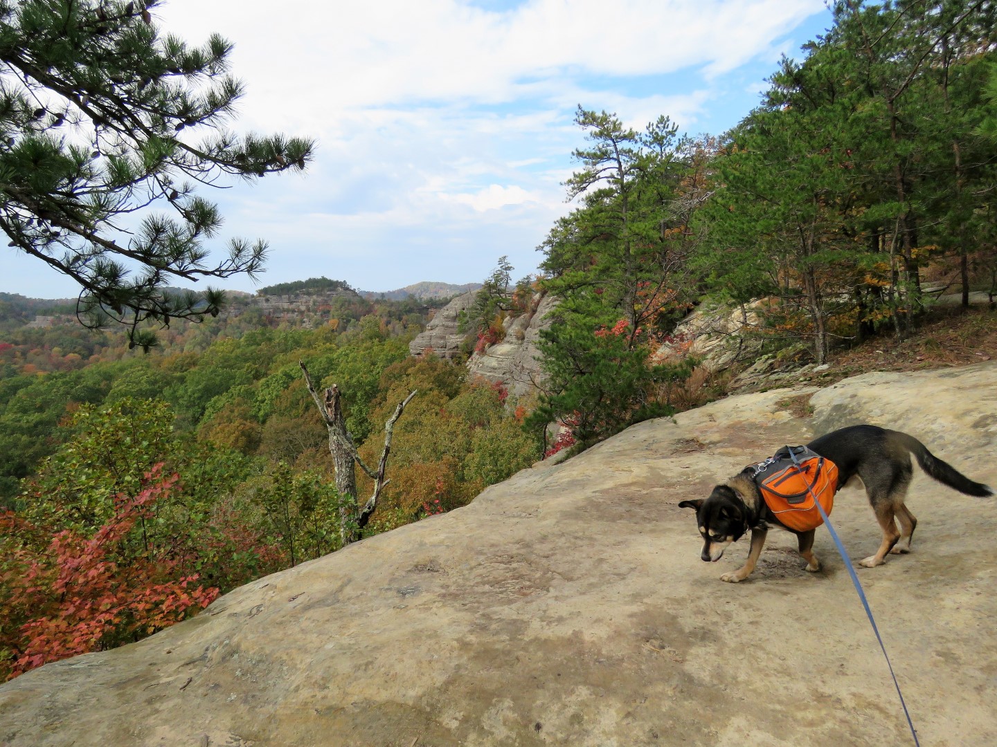
| Now on the ridge. I had heard that this would not be good for those with a fear of heights (such as me) but I had asked two women coming down and they said it was not bad at all. They were right, I was fine with it. There was enough vegetation along the sides and open areas were wide enough for my knees not to start knocking. Had I not been able to do it, I would have retraced to the Auxier Branch Trail and gone that way. |
 |
| The weather was alternating between sprinkles and sunshine, sometimes both at the same time. |
 |
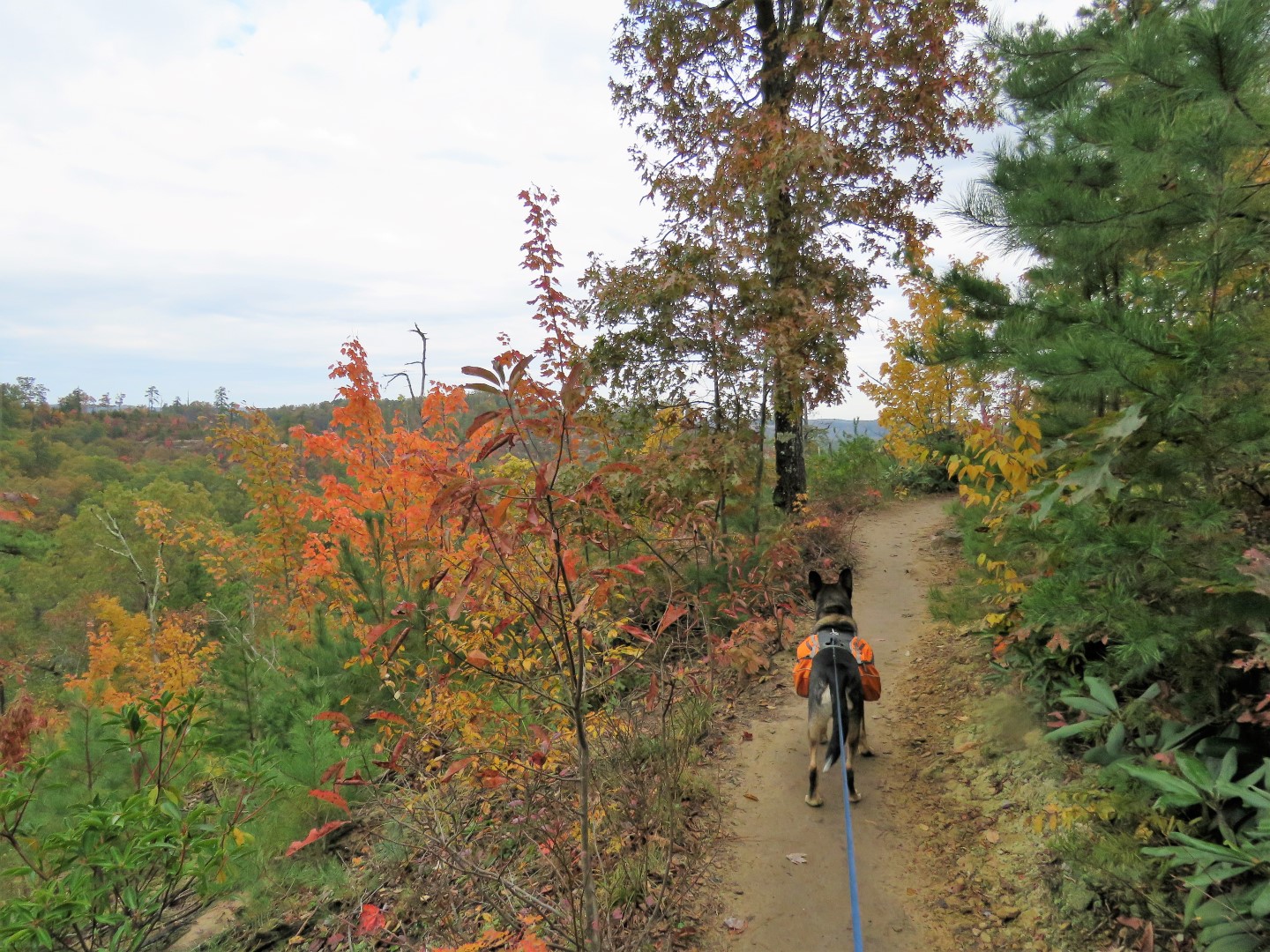
| At the intersection, the Courthouse Rock Trail comes in from the right, keep left on the Auxier Ridge Trail. |
 |
| Back at the parking lot. |
 |
| Another 5 hours of driving in 45 mph wind gusts (thank goodness we made it off the ridge before that started) to St. Louis, Missouri to visit my mom. |


A great hike indeed!
ReplyDeleteThat it was!
Delete