ABOUT THE PARKS:
High Point State Park - New Jersey Department of Environmental Protection
Huckleberry Ridge State Forest - New York State DEC
Shawangunk Ridge Trail - NYNJ Trail Conference
DIRECTIONS:
GPS Coordinates 41.320993, -74.677465
 |
| Steeny Kill Lake Parking in High Point State Park |
TRAIL MAP:
Kittatinny Trails Map 123 - New York New Jersey Trail Conference
High Point State Park Free Map - New York New Jersey Trail Conference
High Point State Park - New Jersey DEP
Huckleberry Ridge State Forest Free Map - NYNJ Trail Conference
Huckleberry Ridge State Forest - New York State DEC
Shawangunk Ridge Trail Map - NYNJ Trail Conference
HIKE DISTANCE: 11.5 miles (5.75 miles each way)
THE HIKE:
 |
| Starting at the gate in the parking lot ... |
 |
| ... which leads to ... |
 |
| ... the mowed path along Steeny Kill Lake. |
 |
| High Point Monument in the distance. |
 |
| Steeny Kill Lake |
 |
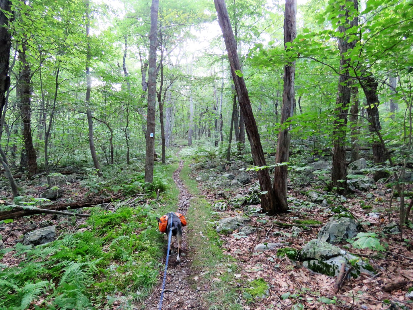
| At the far end of the lake a footpath veers left into the woods. |
 |
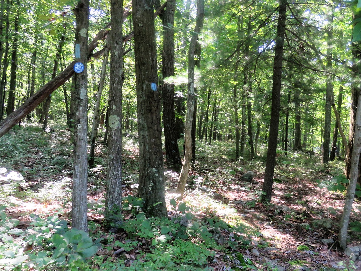
| Although this has been the blue trail all along, blazes don't appear until the trail becomes a footpath. |
 |
| At the end of blue, left on red/green. |
 |
| This early in the morning (7:30 ish) the views were concealed by low cloud cover, which in itself is scenic. |
 |
| Ovenbird |
 |
| More cloud covered views. We'd be seeing them later in the day on our way back after the clouds had lifted. |
 |
| I believe there used to be a Shawangunk Trail marker at the turn but it's not there now so it's just a left on blue. The post says "more difficult" but other than rocky in places, it's really not a difficult trail. |
 |
| Before I knew it, we had unceremoniously passed into New York already. There was no sign like there usually is when I trail crosses state lines so I would have to watch for that on the way back. |
 |
| The trail gets rocky like this ... |
 |
| ... where you can see the end up ahead but just around the bend, a long rocky stretch again. This goes on several times before ... |
 |
| ... things smooth out again ... |
 |
| ... coming up on Greenville Turnpike. |
 |
| A right on Greenville Turnpike going uphill for about .4 miles. (Fortunately it's downhill on the way back.) |
 |
| Continuing up Greenville Turnpike to ... |
 |
| ... a left into Huckleberry Ridge State Forest ... |
 |
| ... where there is a small parking lot. |
 |
| The trail continues into the woods. |
 |
| We weren't planning on going quite that far, just to the second overlook. |
 |
| Some partial views along the way. |
 |
| Coming up on a power cut ... |
 |
| ... with the best views. |
 |
| That is I-84 and yes, you can hear it, actually for most of the hike but it's still pretty in the woods. |
 |
| At the far end of the power cut, the biggest ant hill I have ever seen. |
 |
| The lower perimeter was full of holes where ants were coming and going. To think tiny ants built this huge hill. |
 |
| I -84 - You could almost thumb a ride from the trail. |
 |
| There is a trail down to the I-84 rest area. |
 |
| Continuing on to the second viewpoint on the map which involves going down a rocky area ... |
 |
| ... then up ... |
 |
| ... only to find these views pretty much don't exist any more. Turning back. |
 |
| The strength of this mushroom to push up the leaf cover. |
 |
| Two more of those giant ant hills at an unmarked path to an overlook in the rest stop area. |
 |
| Stopping to reapply Deep Woods OFF. The mosquitoes were actually worse on the NJ side than the NY side. |
 |
| Or NY mosquitoes obey Deep Woods OFF better because as they were leaving me alone, they attacked Brodie :( |
 |
| This time it's downhill on Greenville Turnpike. |
 |
| You have to really watch for where to turn back into the woods because the turn blazes are on the other side of the street and before the actual turn. |
 |
| Back over those rocky areas, uphill now. |
 |
| Maybe this was a state marker at one time but it does seem to sit right at the state line. |
 |
| And shortly after, the trail post of High Point State Park. |
 |
| Brodie is starting to embrace the concept of getting one's paws wet when one is hot and tired. |
 |
| Right on the red/green trail. |
 |
| Now those clouds are gone and we can see the views. Pennsylvania on the left and New York on the right. |
 |
| Delaware River and bridge into Port Jervis, NY |
 |
| Continuing on to ... |
 |
| ... the next view into Pennsylvania. |
 |
| Across the bridge ... |
 |
| ... then right on blue. |
 |
| Right at Steeny Kill Lake. |
 |
| High Point Monument behind us. |


Looks great! I like the Highpoint pictures the best. Thanks for sharing. Joanne from Denville, NJ
ReplyDeleteThanks!
DeleteThanks for writing this up! we did High Point a few months ago and eyeballed this trail without pursuing it that day. It's now on our list to try at a later date, so it's nice to see what we might expect!
ReplyDeleteI had been eyeballing it for a while, too, LOL. I had to abort going so many times recently because every time I would say this is the weekend, thunderstorms in that area. Again. I finally just took the day off on a guaranteed storm-free day. It was the only way I was ever going to get it done!
DeleteJust wondering what app that is on your phone. Seems like you usually use a gps.
ReplyDeleteThanks!
My beloved GPS was on it's way out - the touch screen was barely working - so I sadly had to retire it. Then I discovered the Cairn app and I miss my GPS no more! The Cairn app also notifies my contacts where I am so it serves two purposes.
DeleteThanks for the reply! I may give that app a try, I've been looking for something instead of a gps.
DeleteOne thing to watch - if you are recording your track and the app is running in the foreground, it sometimes accidentally gets switched off and stops recording when the phone locks automatically. You either have to leave a different app running in the foreground and the Cairn app in the background or what I did was set my phone to lock manually instead of automatically so I am locking it before I put the phone back in the holder. Have not had that happen since.
DeleteAnother great hike, as always! Those "low cloud" pix were very interesting (second ONLY to the "actual" views once the clouds had lifted)! Gotta love the views that are multi-state! Also loved the one "power line cut" view...seemed like that cut could be seen for QUITE a few miles! While I'm not particularly crazy about power cuts going through parks, at least the shot you got was part of a breathtaking view! Poor Brodie...being attacked by those pesky 'skeeters! (But he seemed to handle things pretty well!)
ReplyDeleteI've only been to this park once (and only for a short bit with my wife & a friend...would LOVE to actually hike this one!) The High Point monument is a really neat fixture...being able to be seen from NJ, NY _and_ PA...a sure "beacon" for the area! And finally -- who wouldn't love a shot or two of Port Jervis?? (I was once through the area in the fall at its "peak" along I-84 -- should almost be considered one of the Wonders of the World!)
I wonder if some travelers have ever been "late" in getting to their destinations because of stopping at the rest stop along I-84 with the connector to the trails where you were -- you know...they were _only_ going to "check things out", and found themselves returning to their cars to continue their journeys not minutes, but HOURS after "exploring" things a bit! ;-)
Anyway -- thank you (as always) for sharing your adventures...look forward to your next one!!
-- Jim
Thanks, Jim. Yes, I feel the same way about power cuts, kind of an eyesore coming out of the woods, yet on the other hand they can offer some great views.
Delete