ABOUT THE PARK:
Five Rivers Metroparks Engelwood - metroparks.org
Englewood Metropark User's Guide
DIRECTIONS:
GPS Coordinates 39.88309, -84.28631
 |
| There are many places to park but I chose the lot with restrooms. |
TRAIL MAP:
Englewood Metropark
HIKE DISTANCE: 4.6 miles
THE HIKE:
 |
| Leaving St. Louis, MO early in the morning, I arrived in the downtown area to find the ramp to the highway I needed to take closed so I was forced to go through downtown to get to another bridge across the Mississippi. Had that not happened, I would have missed this iconic St. Louis shot at sunrise. |
 |
| To break up our drive on Day 1 of out trip home, we stopped to hike the green trail at Englewood Metropark outside of Dayton, Ohio. |
 |
| The green trail passes wetlands. |
 |
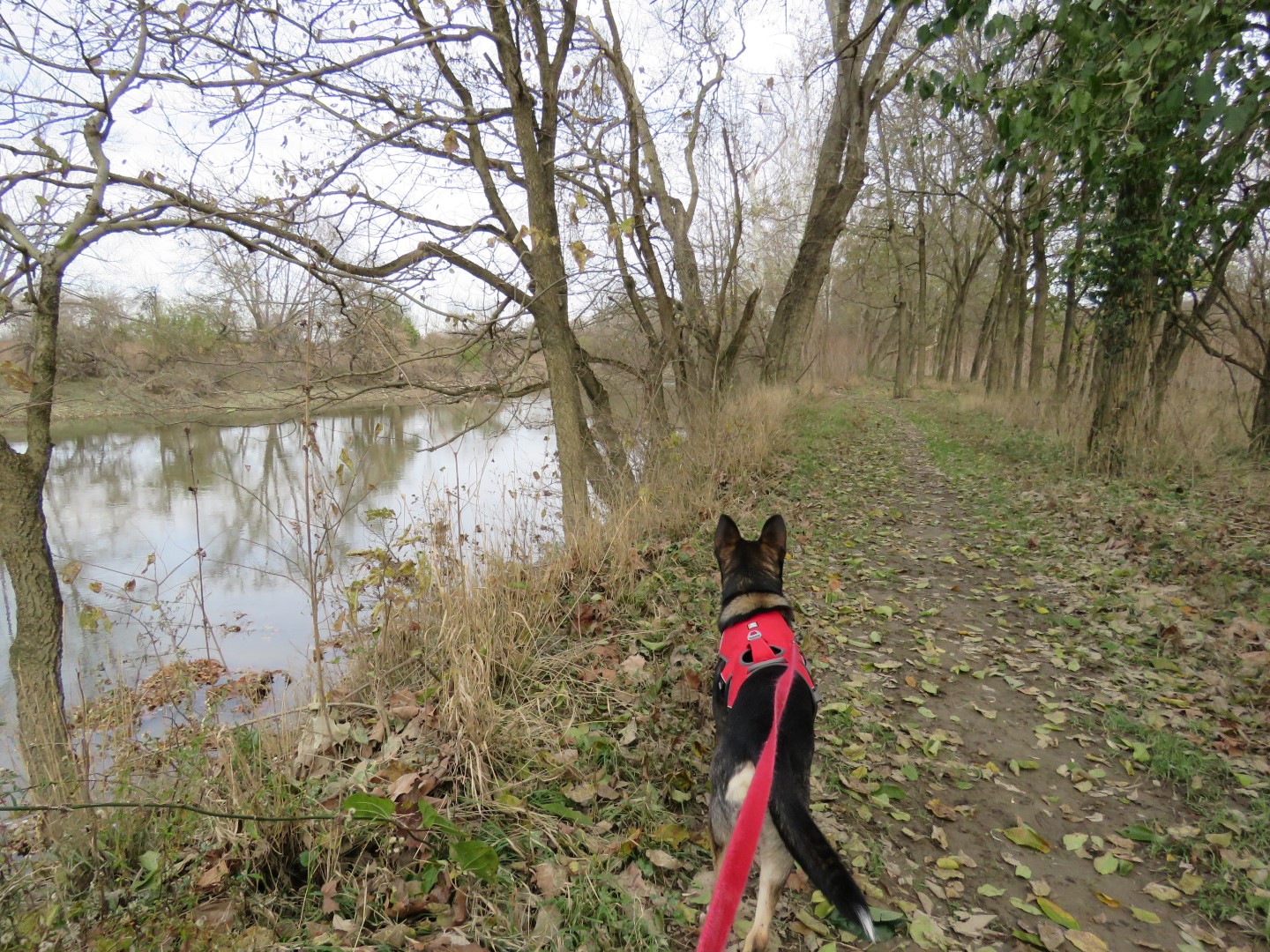
| Then heads to Stillwater River. |
 |
| Stillwater River |
 |
| The trail follows the river for a while. |
 |
| Up to this point, it was quite muddy and the mud just kept accumulating. It felt like I was wearing ankle weights. |
 |
| Some rocks at an outlet - a good place to clean off some mud and by the looks of it, others before me had done likewise. |
 |
| After the outlet, the trail was much drier and there was no more mud accumulation. |
 |
| Trail intersections are numbered and correspond to numbers on the map. |
 |
| White joins in. |
 |
| Northern Flicker |
 |
| Black walnuts were dropping everything. I don't know how we managed not getting clobbered in the head by one. |
 |
| Coming up on Martindale Falls. |
 |
| Temps had been in the 20's overnight and it was only in the 30's during the day so waterfalls had icicles. |
 |
| Up the steps to ... |
 |
| ... the top of Martindale Falls. |
 |
| Continuing on. |
 |
| With the leaves down it's easy to see how high up the trail is. |
 |
| Yellow joins in. |
 |
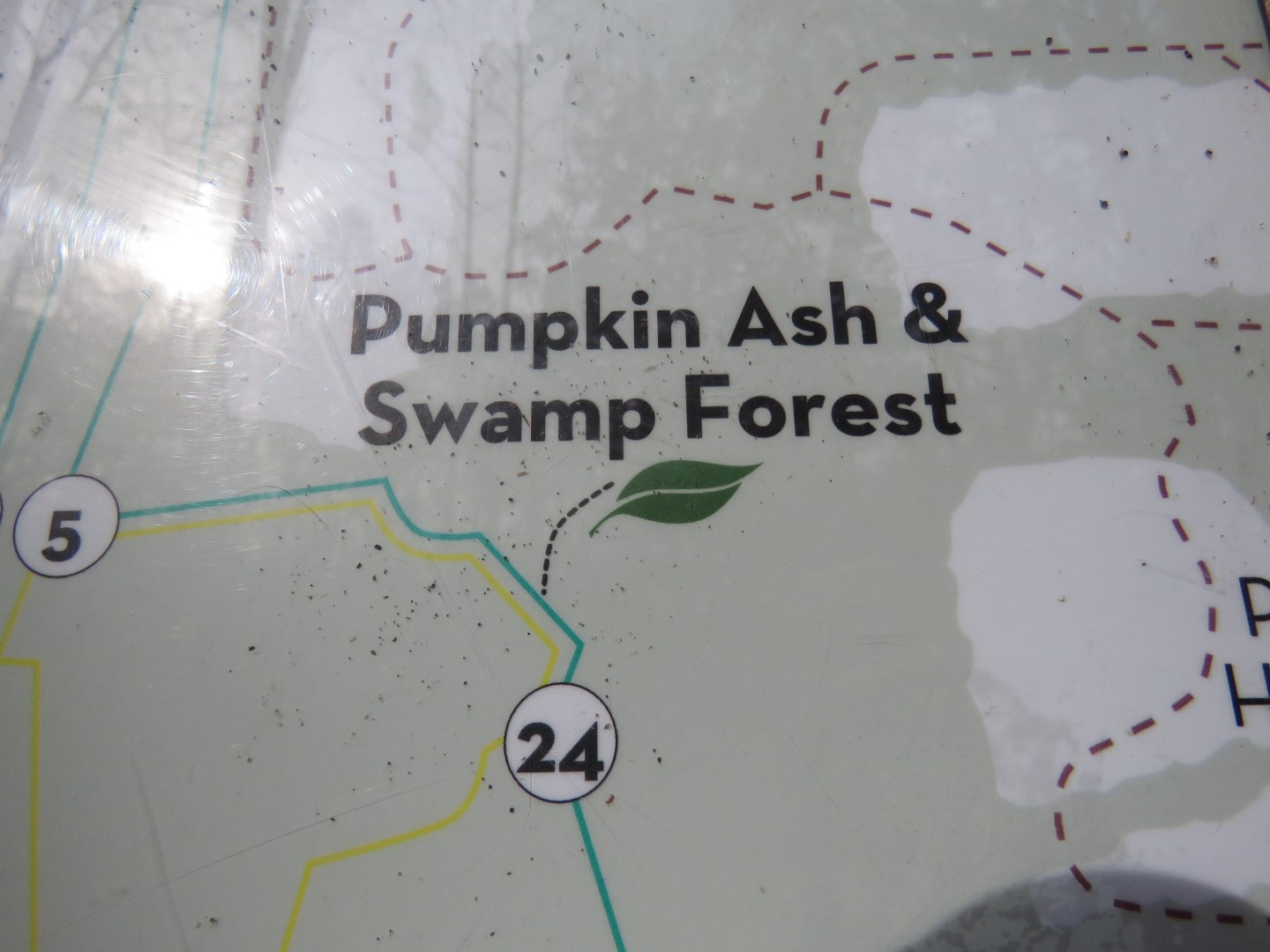
| A boardwalk through Pumpkin Ash & Swamp Forest. |
 |
| Lots of trees had these signs on them. |
 |
| Patty Falls |
 |
| A viewing deck at the bottom of Patty Falls. |
 |
| A short distance along on green ... |
 |
| ... we crossed Patty Road. |
 |
| The top of Oak Falls. |
 |
| There is a side trail down the far side of Oak Falls but not much to see. |
 |
| Another trail user. |
 |
| At this intersection the green trail turns right ... |
 |
| ... with blue and red joining in but ... |
 |
| ... I decided to go left on red to extend the hike a little. |
 |
| Red ends at the road where we turned right ... |
 |
| ... and followed along the reservoir. |
 |
| Some footpaths lead down to the reservoir. |
 |
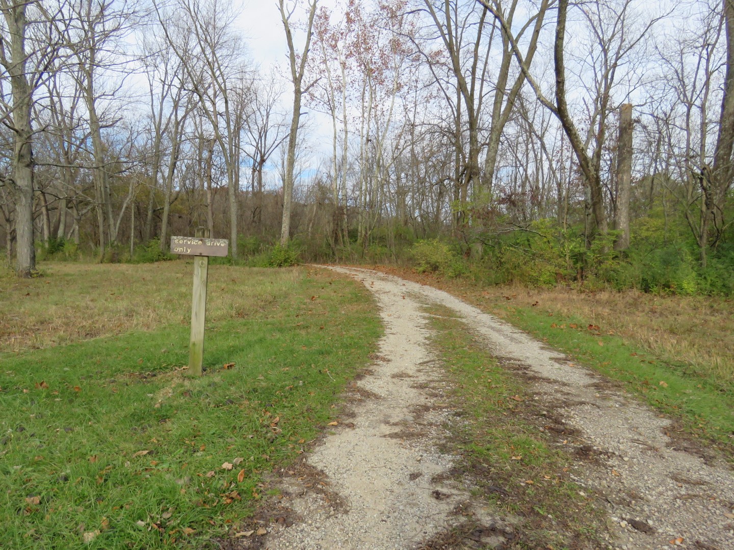
| Just before the intersection we took a service road to cut off some of the road walk. |
 |
| This led right back to where I parked. |
 |
| Back on the road and back to the same motel in Columbus, OH to spend the night. Brodie is an excellent motel guest. He curls up on his bed and goes right to sleep. No barking, no shenanigans, no nothing. |


No comments:
Post a Comment