My GPS told me to turn right on Railroad Station Road, which is not correct. There is a gravel drive that loops around to the parking lot above but the proper turn would be ...
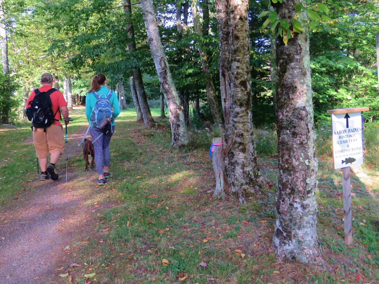
Where the rail trail currently ends, at the newly enlarged parking lot on Laurel House Road for access to...
... newly constructed paths to Kaaterskill Falls.
Along with all of this new construction and easy access, you have crowds of people and litter everywhere. Ugh, not our thing AT ALL!
Still more construction going on.
At the top of Kaaterskill Falls.
I kid you not, people had left their stroller sitting by this sign and took their toddler down into the hazardous gorge area.
There was really nothing to see so we backtracked and took the trail to the overlook platform.
At least we caught a break where nobody was there for a minute.
This is Kaaterskill Falls during a drought. There are people down by the pool but it is so far down you can't see them in the picture.
The falls were just spitting water out where they are normally raging.
New construction along the way to make that side more accessible to more people and safer? The construction is probably due to all of the deaths at these falls but there will always be those who don't pay attention to the warnings.
OK, we are done here, let's get back to peace and quiet on the rail trail.
Ahhhh, so much better!
I had Shawnee wait with the others while I checked out a side trail looking for a view that was supposed to be along the trail (which I never did find) and I got yelled at for leaving someone behind while I went to investigate. Nope, she was NOT happy with me and was loudly voicing her opinion about that :)
This is right after the intersection where we had come in from the road walk. A local woman was at that intersection and I asked her if the trail continued through per this map although it was not marked. She said it does go through to the historic train station and that it is public assess so definitely OK to go that way. Apparently there is an upper trail that goes through local back yards that is off limits but this lower rail trail is good to use so off we went. This part of the trail was much rougher than the marked section we had been on but it was still passable.
Indeed, it spit is right out at the train station. Going in the opposite direction, it would not be that easy to see the entrance and there are no signs.
At the time you did the trail, the unmarked section was across private property and not part of the Kaaterskill Rail Trail. As of May 20, 2017 that section is owned by the Mountain Top Historical Society and is officially part of the KRT. The section along Osborn Road and County Route 18 is no longer part of the KRT there is no need to walk along the highway.
I had a feeling that might have been the case when I was there but a local woman I ran into who lives along that part of the trail said it's OK as long as you stay on the upper part as the lower part goes through back yards. Sorry if we went wrong at the time, but seems to no longer be an issue. Thanks for the update.


At the time you did the trail, the unmarked section was across private property and not part of the Kaaterskill Rail Trail. As of May 20, 2017 that section is owned by the Mountain Top Historical Society and is officially part of the KRT. The section along Osborn Road and County Route 18 is no longer part of the KRT there is no need to walk along the highway.
ReplyDeleteI had a feeling that might have been the case when I was there but a local woman I ran into who lives along that part of the trail said it's OK as long as you stay on the upper part as the lower part goes through back yards. Sorry if we went wrong at the time, but seems to no longer be an issue. Thanks for the update.
Delete