

ABOUT THE PARK:
Stokes State Forest - NJ Department of Environmental Protection
DIRECTIONS:
GPS Coordinates 41.22604, -74.75645
 |
| Parking for about 3 cars off of Skellenger Road at Tinsley Trail trail head. |
 |
| Note: My GPS told me to turn on Skellenger Road below Lake Ocquittunk. That is the cabin camping area and the road was gated so that way did not work. Drive the way the arrows show above. (My GPS redirected correctly once I passed where it first told me to turn.) |
TRAIL MAP:
Northern Kittatinny Trails Map 122 - NY/NJ Trail Conference
Stokes State Forest Trail Map North - NY/NJ Trail Conference free map
NEW TRAIL: Blue Mountain Loop - NY/NJ Trail Conference free map

HIKE DISTANCE: 8.8 miles
THE HIKE: Keep in mind if you are reading this after November 2016, the existing trail signs/markers will be removed and this will all be the blue-blazed Blue Mountain Loop (except where I cut over on the Tinsley Trail.) At the time of this hike the trails still ran together.
 |
| According to the New Trail: Blue Mountain Loop map the Blue Mountain Trail and Tinsley Trail intesect at the northern end of the Tinsley Trail. Turns out at this time they do not. Not knowing how that would play out, I headed south on Tinsley figuring I'd work out the non-connecting part at the end. |
 |
| At this time there are old NJ School of Conservation trail markers throughout. These trails do not seem to be maintained since other than markers, trails are not very visible. |
 |
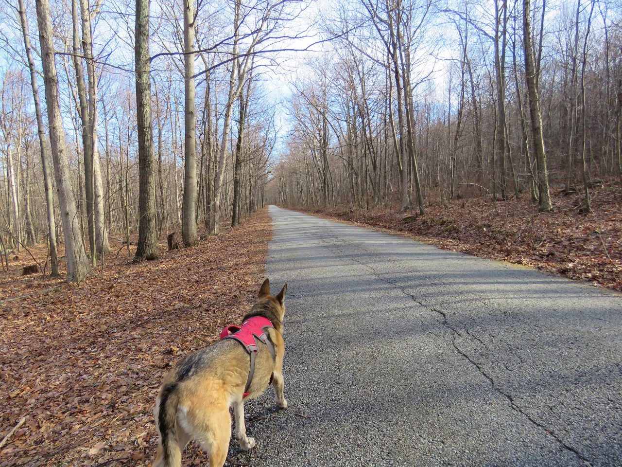
| Heading south on the yellow-blazed Tinsley Trail which I used as a cut-off to form the eastern loop of the Blue Mountain Trail. |
 |
| Eastern White Pine |
 |
| It was along this stretch that we hiked parallel to a bear going in the opposite direction on the left a few years back. No bears seen today. |
 |
| At the fork, a left goes to a cabin and would make the hike maybe half a mile shorter. We continued right on the Tinsley Trail. |


 |
| At about 1.1 miles the newly blue-blazed Blue Mountain Loop comes in with the red-blazed Swenson Trail; yellow continues to the right. This is where we picked up the Blue Mountain Loop turning left. |

 |
| The trail comes out at the same cabin where taking a left at that fork earlier would end up. |
 |
| Singing his little heart out. |
 |
| The trail continues right through the cabin area. |
 |
| Blues leaves red to the right joining in with the brown/red Cartwright Trail. |

 |
| This climbs all the way up to the top of the ridge where just to the left at a left turn... |
 |
| ... are some ruins. |

 |
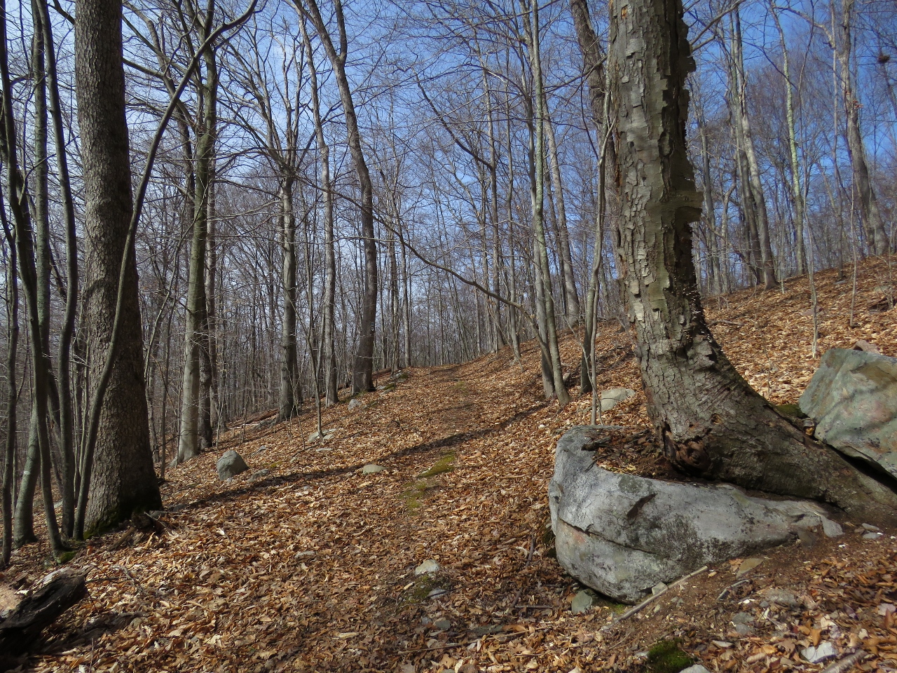
| The trail continues along the ridge. |

 |
| At about 3.1 miles, cross over Sunrise Mountain Road. |
 |
| The trail climbs up... |


 |
| ... to views to the west. |

 |
| The blue trail leaves the Cartwright Trail to the left. This is now new trail and is currently blazed only in blue. |


 |
| Looks like we interrupted somebody's breakfast. |
 |
| After crossing the ridge, blue turns left on an eroded woods road. |

 |
| At about 3.7 miles, blue leaves the woods road to the right joining in with the gray-blazed Howell Trail. |

 |
| There are a few short bridges crossing small creeks on this trail. |
 |
| And a longer bridge crossing Flat Brook. |

 |
| A long bridge over a puddle. |

 |
| A section of boardwalk... |
 |
| ... that someone preferred not to use. |
 |
| The the trail turns left joining in with the light blue-blazed Parker Trail. |
 |
| So at this time the blazing is gray (Howell), light blue (Parker), medium blue (Blue Mountain). |


 |
| At 6.25 miles it appears as though the old Howell/Parker combo used to go straight on the woods road. I am not quite sure what happens to Howell at this point as it seems to drop off but light blue/medium blue leave to the left. |
 |
| I think light blue was relocated along with this new section of the Blue Mountain Loop as the trail is not well-defined but can be followed easily using the markers. |

 |
| It's a short section that comes out on Crigger road just beyond... |
 |
| ... another parking option to the right. |
 |
| The trail turns left, crosses the bridge... |


 |
| ... then turns right just beyond the guardrail at 6.6 miles. |
 |
| Looking back towards that parking area from the trail. |
 |
| This new part of the Blue Mountain Loop is an absolutely gorgeous 2-mile stretch all along Big Flat Brook. |
 |
| Skunk Cabbage |


 |
| Pictures don't do justice to the beauty of this area. |


 |
| No way was she crossing on a skinny log! Fortunately the water was not deep at all. |

 |
| The old Orange Wood Lily Trail joined in. |


 |
| Checking my GPS to see where I was going to need to cut over to get back to the parking area, I saw orange ribbons heading in that direction. I had noticed orange ribbons across Skellenger Road from the parking area also. This must be where the connection will be but has not been completed. |
 |
| We continued on a short distance ahead where that Orange Wood Lily Trail leaves to the left. |
 |
| The trail was not defined but passable... |
 |
| ... and came out just beyond my car on the left at Skellenger Road. |
 |
| From the parking lot, the orange ribbons on the opposite side of Skellenger Road, no doubt the location of the future connection to the Blue Mountain Loop. |
 |
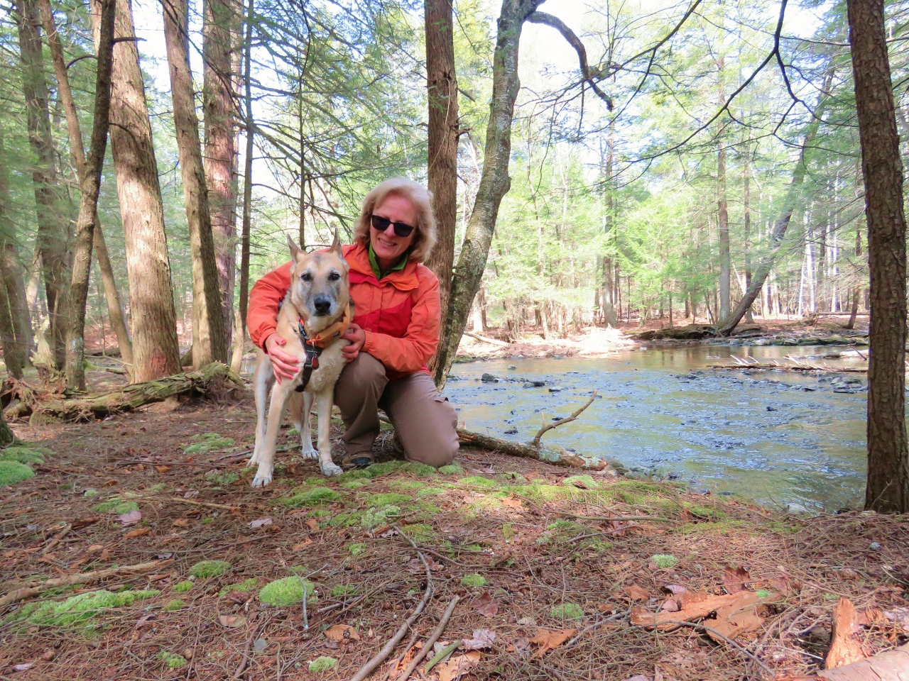
| Dog tired but never one to sleep in the car unless in an upright position. |
I love that last photo <3
ReplyDeleteThat is how she "sleeps" all the way to St. Louis and that is a 16 hour drive! Refuses to lay her head down in the car. Such a backseat driver!
DeleteLast week we did that western section of the new Blue Mtn Trail that you did. Thanks for posting that. Beautiful new trail indeed! Will give this section a try shortly. BTW: Jim & I share the same sleepy-eyed faces as Shawnee on the way home from some of our hikes. And unlike some of those TV Subaru dogs, she gets a well-deserved chauffeured rest.
ReplyDeleteLinda
Glad you liked the western part. I think you will like the eastern part even more! Gives you something to look forward to. And yes, I feel the same way on the way home but I have to drive, LOL.
DeleteGreat photos! I love the pictures of Shawnee, especially the close-ups. Nice that she got tired out after her long hike. She's a great companion. Thanks for sharing! Joanne
ReplyDeleteThanks, Joanne. She sleeps all week resting up from the last hike and getting ready for the next hike!
Delete