

ABOUT THE PARK: Merrill Creek Reservoir
DIRECTIONS:
GPS Coordinates 40.742477,-75.091381
View Larger Map
TRAIL MAP: Merrill Creek Reservoir Trail Map
HIKE DISTANCE: 5.85 miles
HIKE DESCRIPTION:
I don't recommend doing this hike on a frigid winter day with 20 mph winds and sub zero wind chill factor - in the woods it's not bad at all but there are multiple dams to cross where you are completely exposed with nothing to block the wind and that is brutal!
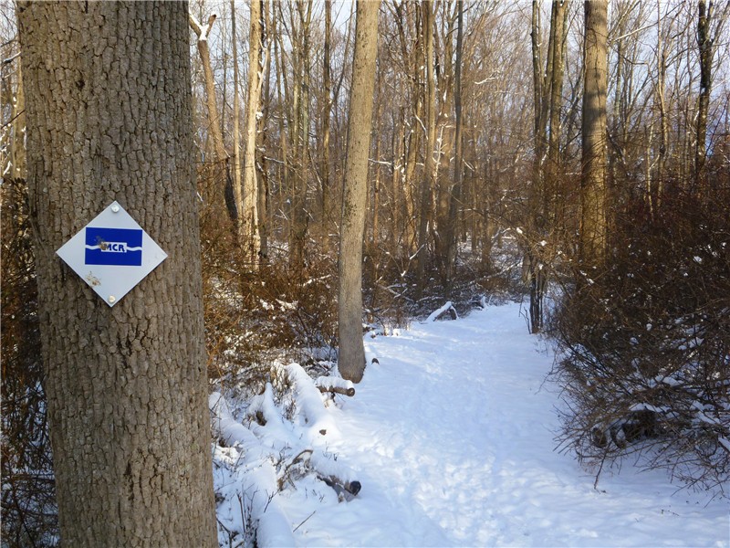
The trails start behind the visitor's center. On a less windy day I would have explored more of the trails but I ended up taking the more direct route to the black-blazed perimeter trail which was blue to yellow to black. Then it's simply following the black trail around the reservoir.


There are bird feeders outside the visitor's center. I noticed something odd out of the corner of my eye and went to investigate. There stood two small deer among all of the birds. They looked up at me briefly then continued eating bird seed from the ground.

HIKE SUMMARY:
[ 0.00] Take the blue trail from behind the visitor's center
[ 0.70] Right on blue/yellow when yellow joins in from left
[ 0.85] Right on yellow when blue goes left
[ 1.15] Left on black over bridge when yellow goes straight
[ 1.90] Cross NW2 Dike then NW1 Dike
[ 3.95] Cross main dam
[ 5.60] At boat ramp trail goes along road then across bridge and up steps
[ 5.70] Turn left on black as black/green goes right
[ 5.85] Visitor Center/Parking Lot
No comments:
Post a Comment